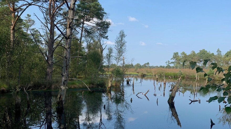
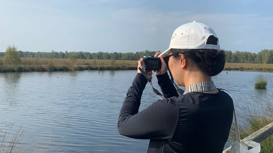
Four beautiful days in Schneverdingen, Germany, was the scene of the 12th International Conference on Monitoring and Management of Visitors in Recreational and Protected Areas (MMV12). It set out to answer who is where, doing what, and when in over 30 sessions, keynotes, workshops, and informal talks. But why do we need monitoring at all? What is it we can monitor? What are the latest methods of how to monitor visitors? These insights are crucial for our VIMAS project, providing fresh perspectives and guiding future research. In Work Package 3 (WP3), we will explore novel approaches to recreational monitoring, such as mobile big data and PPGIS data. Read on to discover the key takeaways from MMV12.
Why are we monitoring?
Monitoring serves to both capture the current state and track evolving trends in outdoor recreation and nature-based tourism. This knowledge is essential for understanding pressures, drivers, and needs within these sectors making monitoring a critical tool for balancing conservation efforts with recreational use. It encompasses people, infrastructure and nature as the arena.
For the current state of trails, Marcos Simao highlighted a common gap between monitoring and problem-solving, noting that assessments of degraded trails often stop at describing the problem, with many studies failing to propose actionable solutions. Several researchers emphasized accessibility as a key factor influencing recreational visits, identifying a growing trend of shorter visits. Ting Wang demonstrated how using drones to map trails can provide managers with valuable insights into trail development. By showcasing the scale and progression of issues, monitoring offers the data needed to drive meaningful change. When these results reach decision-makers - whether those who can fund initiatives or managers with the resources to act - they have potential to create real, positive impact.
We also monitor to assess management strategies and plan for the future. In an era of rapid change, we are witnessing shifts in visitor flows and increasingly diverse demands. Monitoring provides the essential data needed to adapt to these changes. Karolina Taczanowska emphasized the urgent need for a systematic understanding of human-environment interactions, which can enhance our ability to explain and predict recreational behaviors. Finnish Metsähallitus also highlighted the need for deeper insights into how people use natural areas, which are crucial for future planning. Anna Miller and Iree Wheeler presented their research on promoting responsible recreation through trail ambassadors, demonstrating how Moab’s trail ambassadors have successfully influenced better visitor behavior. Thus, monitoring becomes a vital tool not only for evaluating the effectiveness of management practices but also for fostering citizen engagement.

What are we monitoring?
If the why of monitoring is about understanding the current situation and anticipating future opportunities and challenges, then the what becomes very broad. MMV12 highlighted the wide array of aspects we can monitor. We can track visitor numbers, demographics, and movement patterns, whether they are in specific locations or engaging with particular types of social media. For instance, Martin Wyttenbach illustrated how skiers taking shortcuts to parking lots can be tracked to understand behavior in protected areas.
We can monitor visitor activities—what they say they do versus what they actually do—and their preferences, likes, and dislikes. Infrastructure monitoring is also key, from the location and spread of trails to their condition, such as whether they are widening, deepening, or being used for different activities.
Additionally, we can assess recreation opportunities and changes, such as soundscapes affected by aircraft, as presented by Adam Beeco, or the significance of green spaces for elderly individuals with mobility issues, as presented by Rose-Marie Ankre. MMV12 clearly showcased the vast range of what can be monitored, emphasizing the depth and diversity of monitoring possibilities.
How are we monitoring?
The methods for monitoring visitors vary between management and academia. Nature recreation management organizations, such as Finnish Metsähallitus, are interested in visitor numbers and flow, using counters along trails to count visitors. Meanwhile, the German Institute for Tourism Research utilizes GPS data from mobile phones to study visitation frequency to German national parks. Surveys remain a common tool for gathering demographic and activity data in natural areas to better understand visitor characteristics.
In addition to these traditional approaches, academia is exploring innovative methods to engage visitors in data collection. Techniques like PPGIS (Public Participation Geographic Information System) and VGI (Volunteered Geographic Information) allow visitors to contribute geographic data. Jonas Vester Legarth, for example, used PPGIS to analyze outdoor recreation demand, while Lilia Schmalzl and Michelle Murphy demonstrated how off-trail visitation can be tracked using VGI from trail apps such as Trailforks, Alltrails, and Strava.
Social media is also emerging as a powerful tool in visitor monitoring, offering researchers deeper insights into visitor behaviors and preferences. Tuuli Toivonen discussed how social media data can be used to better meet the needs of protected area managers.

The how of visitor monitoring can vary significantly with the seasons. In summer, trail counters may effectively track hikers and bikers in mountainous areas. However, in winter, extreme snow conditions can reduce the accuracy of these counts, and visitors often deviate from formal trails, making monitoring more challenging, as Adrian Hochreutener explained. To address this, a combination of methods is often necessary for accurate onsite monitoring. For example, Jacques Veslot used a mix of counters, mobile phone data, and surveys to estimate visitor numbers more reliably.
The choice of monitoring methods also depends on the scale of the area being studied. For local contexts, Adrian Hochreutener used a regression model that integrated various data sources to estimate visitor numbers. For single trails, as Mateusz Rogowski noted, simpler methods like onsite questionnaires and observations may suffice. In contrast, social media data can provide broader insights on a national scale. Tatu Leppämäki demonstrated a computer vision analysis framework that uses globally georeferenced photos to better understand nature visits.

References
All references are from conference presentations at the 12th International Conference on Monitoring and Management of Visitors in Recreational and Protected Areas, Schneverdingen, Germany.
Rosemarie Ankre (2024, 2-5 sept) Experiences of sounds and nature - older adults’ health and life quality
Davyd Betchkal, Adam Beeco, Sharolyn Anderson, Brian Peterson, Damon Joyce, Bijan Gurung, Shawn Hutchinson (2024, 2-5 sept) Measuring and monitoring the geographic scope of noise impacts from low-level overflights above parks and protected areas
Tatu Leppämäki, Matti Hästbacka, Tuuli Toivonen (2024, 2-5 sept) Towards a computer vision analysis framework for understanding nature visits using a global dataset of georeferenced photos
Anna Miller, Iree Wheeler, Wayne Freimund, Andrea Jacobs (2024, 2-5 sept) Communicating Responsible Recreation: Trail Ambassadors in Moab, Utah, USA
Anton S Olafsson, Lene Gernow, Jonas V Legarth, Søren Præstholm, Frank Søndergaard Jensen, Berit C Kaae, Hans Skov-Petersen (2024, 2-5 sept) How important are protected areas for the populations’ nature visits? A national PPGIS assessment study
Fruzsina Stefan, David Ganhör, Mariusz Ciesielski, Kamil Choromanski, Dariusz Gotlib, Karolina Taczanowska (2024, 2-5 sept) Digital skills and recreational behaviour across generations - implications for visitor monitoring – case study of urban fringe in the metropolitan area of Vienna, Austria
Matti Tapaninen, Yu-Fai Leung (2024, 2-5 sept) Managing visitor capacity and use challenges in Finland's protected areas: Reflections from a system-level evaluation process
Mateusz Rogowski (2024, 2-5 sept) From Tourism Carrying Capacity to Method of Overtourism Optimisation in PNA’s. Case Study: Stołowe Mts. National Park, Poland; Session: How many are too much? Carrying capacity of visitors and users of protected and natural areas
Lilia Schmalzl, Zuzanna Kieliszek, Urosh Grabner (2024, 2-5 sept) Balancing Tourism and Conservation: Insights from Visitor Monitoring in the Karawanken-Karavanke Geopark
Tuuli Toivonen, Tatu Leppämäki, Matti Hästbacka, Anna Hausmann, Hans Skov-Petersen, Anton Stahl Olafsson (2024, 2-5 sept) Thematic Discussion Group: Dissecting the potential of Mobile Big Data for Visitor management and Monitoring
Estela Inés Farías-Torbidoni, Víctor Dorado Martínez, Serni Morera, Ricardo Nogueira Mendez, Vanessa Teles da Mota, Marcos Simao, Santiago Esteban Farías, Aitor Àvila Callau Àvila Callau, Albert Morera Marra, Maitane Erdozain Ibarra, Sergio de Miguel (2024, 2-5 sept) Tourism Carrying Capacity. Insights from the study of protected and unprotected natural areas in Spain
Jacques Veslot, Jean-Bernard Marsat, Étienne Polge (2024, 2-5 sept) Monitoring visitors in natural sites: insights from a case study in France, the Chaîne des Puys - Limagne fault tectonic arena
Teiji Watanabe, Yusuke Kobayashi, Ting Wang (2024, 2-5 sept) A new framework for the collection and use of scientific data by citizens for regenerative tourism: address in a population declining town of Kamikawa, Daisetsuzan National Park, Japan
Martin Wyttenbach, Adrian Hochreutener, Johann Junghardt, Reto Rupf (2024, 2-5 sept) Orthophotos for monitoring of winter sports activities – A case study in the Beverin Regional Nature Park, Switzerland
